
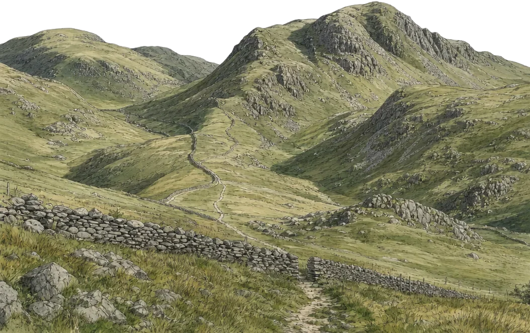

Leaving the village
Four bars. Full signal.
Everything just works.
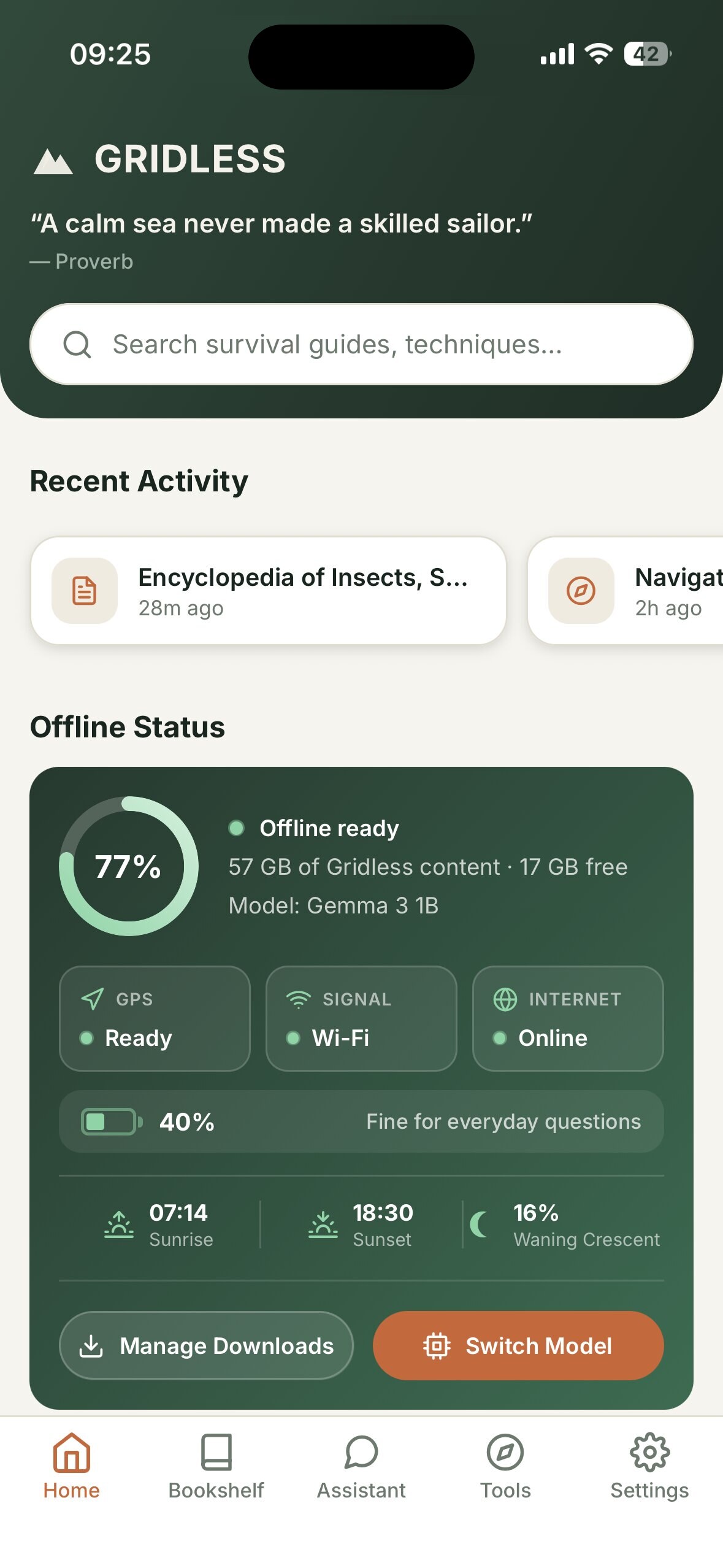
Gridless is an offline AI survival companion for iPhone and Android. Answers, identification, maps and a whole library run on the phone itself.
Scroll to start walking
Ask out loud.
Tick it off.
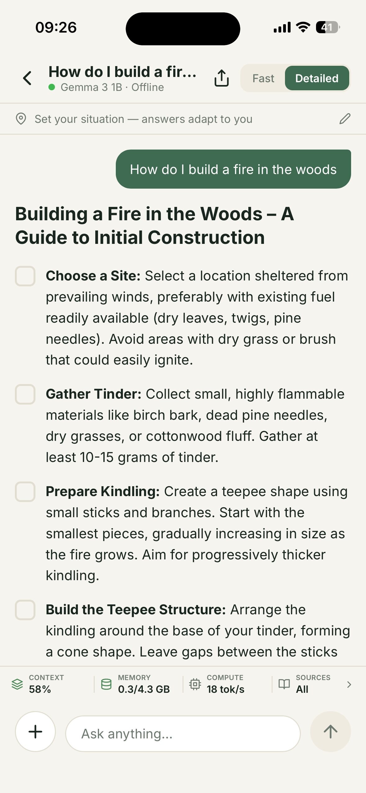
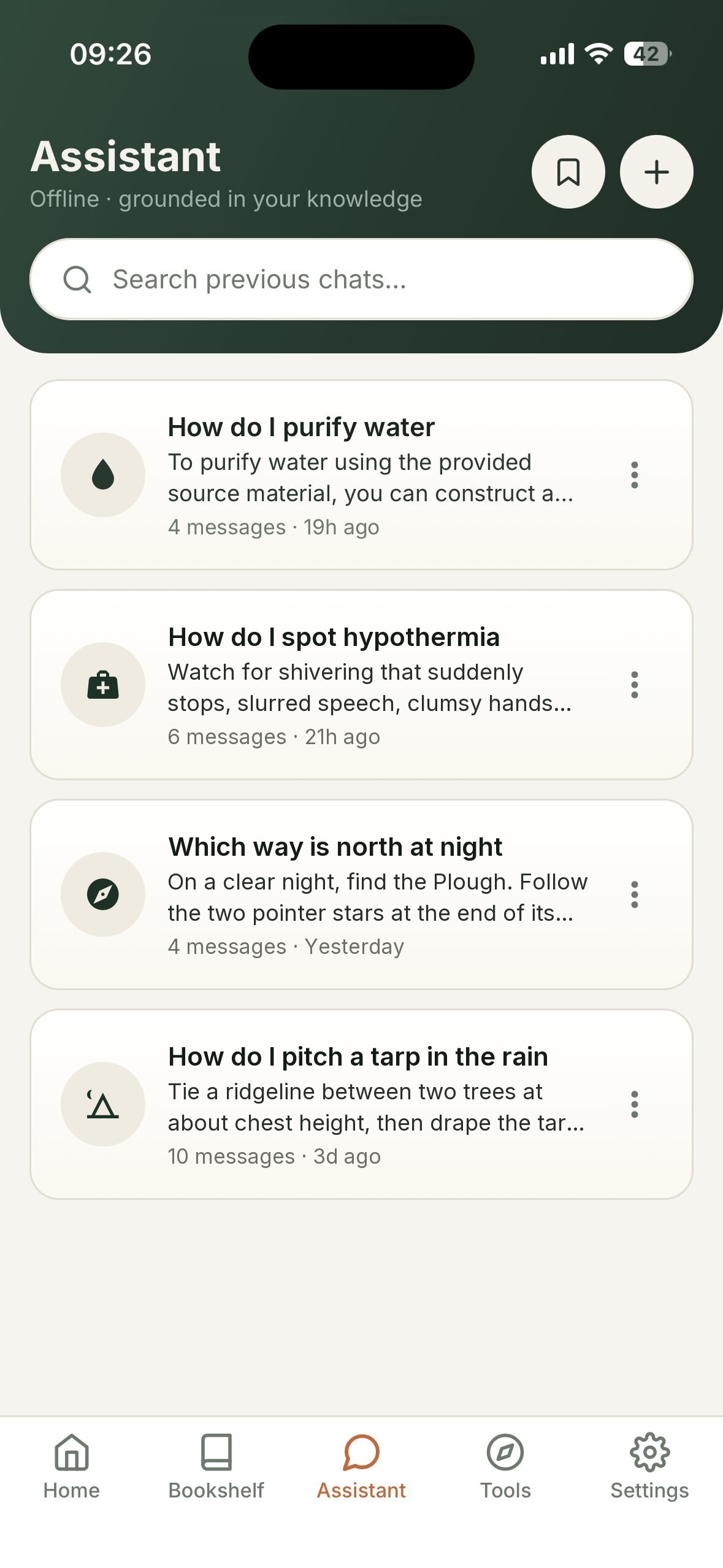
A small language model, such as Gemma, runs on the phone and answers from your downloaded survival guides, books and your own PDFs. Step-by-step answers come back as a checklist you can work through with cold fingers.
How do I build a fire?
Illustrative demo. In the app, answers come from your own downloaded library.
Honest words.
Never a percentage.
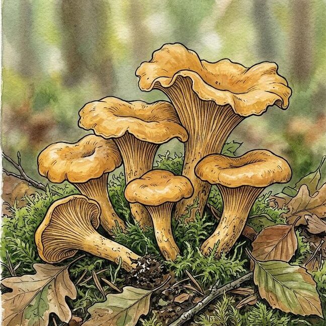
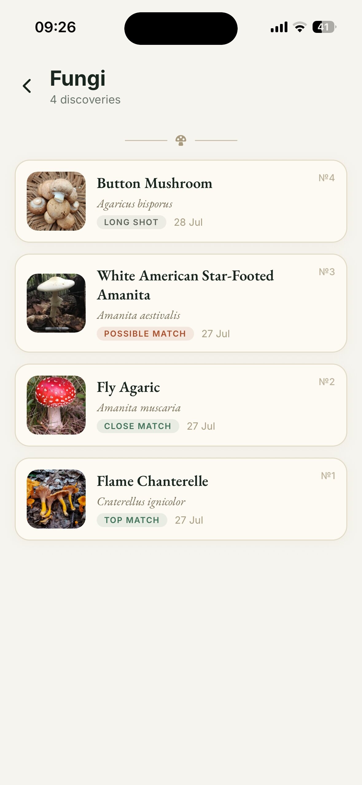
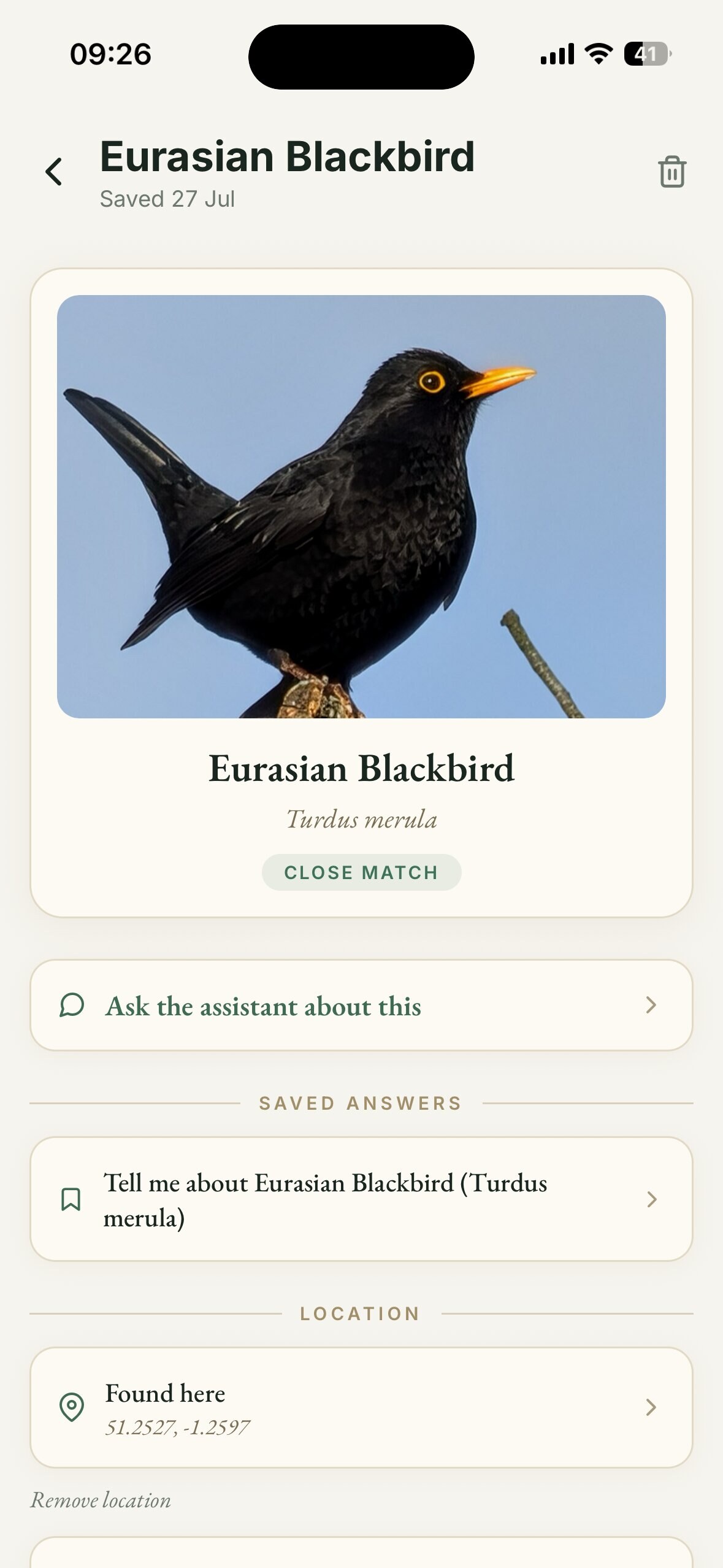
Point the camera at a plant, fungus, bird or animal, offline. Gridless shows the likely names with lookalikes alongside, and says how strong each match is in plain words. Saved finds go into your Field Journal.
 Offline · on-device
- Golden ChanterelleCantharellus cibariusTop match
- False ChanterelleHygrophoropsis aurantiacaClose match
- Jack-o'-lanternOmphalotus oleariusPossible match
- Wood HedgehogHydnum repandumLong shot
Several orange woodland mushrooms look alike, including poisonous ones.
A match is a name, not permission. Gridless never tells you something is safe to eat or touch.
Illustrative example. Real results depend on your photo.
Save the hill
before you climb it.
Pick an area while you still have signal and Gridless saves the OpenStreetMap street and trail map onto your phone. Out there, it loads with zero bars and GPS keeps your dot on the path.
- 1Choose an area
- 2Save it while you have signal
- 3Signal gone, map still there
- 4GPS shows where you are
Illustration. The app uses real OpenStreetMap data.
It's dark now.
Move the torch.
The strobe here is a demo. The app's torch and SOS screen use your phone's real light and dialler.
A library in a pocket
that weighs nothing.
Survival guides, field manuals, public-domain survival books and offline reference packs, up to all of Wikipedia. The assistant reads from them so you don't have to.
 Survival guides
 Field manuals
 Public-domain survival books
 Your own PDFs
 Offline reference packs
 All ofWikipedia

One phone.
The whole camp asks.
Share your phone's assistant over a Personal Hotspot. People nearby join and ask it questions. No internet anywhere in the chain.
Tap the fire
There's no server
to tell.
No account
Open it and go. Nothing to sign up for.
Questions stay put
What you ask stays on your phone.
No cloud
The model, maps and books all live on the device.

Download it
before the bars go.
Save your maps and books while you still have signal. Then walk on.
Available now for iPhone and Android